
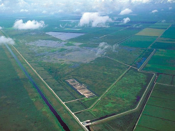
We have performed hydraulic modeling and design for over 8,000
acres of constructed wetland treatment areas. Analyses included
evaluation of hydraulic conveyance and flooding effects for over 50
miles of canals spanning a 400 square mile region. The analyses
included 2-dimensional FESWMS hydraulic modeling of the wetlands
flow systems and estimation of their nutrient removal capability.
Our experts performed all wave and runup modeling for the basins and
levees.
Our specialists performed or directed hydrologic and hydraulic
modeling for Coastal Wetlands Restoration project. The analyses
included long-term continuous modeling of the hydrology and canal
hydraulics along with calibration and validation. The modeling was
conducted to predict the effect of pumped withdrawals on the canal
system. Modeled all tidal gates and control structures in the
modeling effort. Modeling also evaluated the hydraulic discharge to
the coastal wetlands. Modeled the seepage for the gates and canals
using SEEP2D.
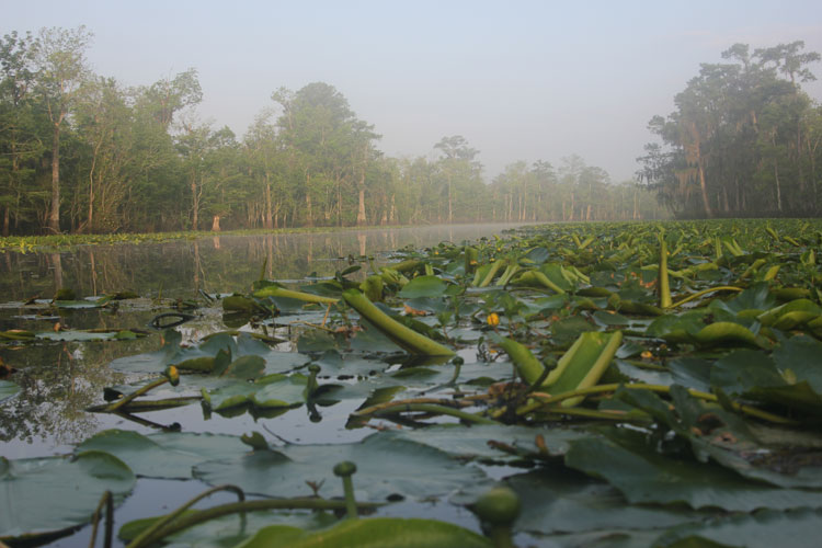
We have also carried out a coastal zone restoration project. The project involved diverting water from the River and routing it to historic wetlands between the river and Lake. The lake is connected to the Gulf of Mexico and is subject to wind and storm surges. We have developed hydrodynamic models of the area to determine the appropriate flow releases to maintain targeted seasonal water levels in the wetlands as well as investigate the potential for upland flooding.
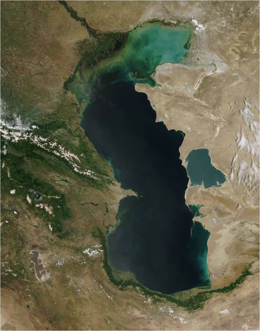
We have carried out a study using numerical models of sea floor
geohazards in the Shah Deniz PSA of the Central Caspian Sea. The
work was based on multi-beam bathymetry, AUV CHIRP subbottom
profiles and sediment core data. In this area both subsea mud
volcanoes and shallow-seated soil instabilities are present.
The Azeri mud volcano is a subsea feature located in the central
Caspian Sea within the AGC PSA development. In order to develop this
field it is necessary to locate subsea manifolds and flow lines in
the proximity of paths that could convey future eruptions. Our
experts, working with specialists from URS and BP conducted a study
of this geohazard. Numerical models were used to map out exclusion
zones for the subsea field development.